


SECRET
MAPS
WHAT? Secret Maps
WHERE? British Library, 96 Euston Road, London NW1 2DB
WHEN? Now until 18 January 2026
WHY GO? To journey through time. Maps; do school kids even know how to read them these days? No worries, this fascinating exhibition maps it all out for curious minds and history buffs.
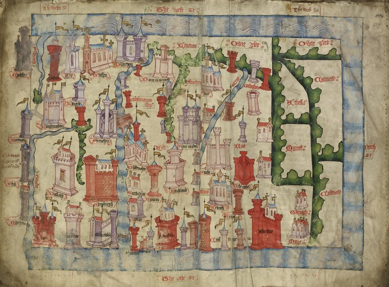
Five years in curating, with priceless loans from all over, if anyone can gather together the best of the best, and the most secretive of ancient maps, the British Library can, and does. Expect antiquarian tomes like the first independent map of Scotland, maps generated by the East India Company recording our colonial empire, war time surveillance maps and even a dash of humour with Where’s Wally?, the playful children’s puzzle book character created by illustrator Martin Handford.
Maps shaped history, empowered communities, granted and threatened power but most ingeniously, maps concealed secrets as invisible codes.
Expect to see over 100 remarkable items from confidential maps of the English coastline secretly commissioned by Tudor monarchs, to the latest in satellite mapping as projected through our smartphones.
Perhaps the most intriguing exhibit is Lady Mountbatten's 1940s silk bra and knicker set made from Second World War silk escape maps!
The mind boggles as to why and IF she actually wore them!
Spare a thought and marvel at our ancestors, unable to tap into Google, and find your way to this captivating exhibition.
IN THE KNOW What of the future of maps in our global geopolitical landscape? Author Tim Marshall, whose iconic Prisoners of Geography has sold over three million copies world-wide will be discussing his book and analysing The Future Map of the World in conjunction with the exhibition on Thursday 11th December. Booking details online.
Map of Scotland, from Hardyng’s Chronicle Lansdowne,1457c British Library Board